Park Map
The Town of Brookline publishes two maps of Larz Anderson Park: a picnic-and-ceremony map in its park brochure and a map of the estate's surviving landscape features. Together they show a hilltop park bounded by Goddard Avenue, Newton Street and Avon Street, with the auto museum and ice rink on the Newton Street side, the Top of the Hill and the Allée near them, and the lagoon, picnic shelter, play area and fields across the rest of the grounds. The park road runs in from Newton Street, past the ice rink lot, up to a summit lot, and out to Avon Street. There is no trail system to map; the park is walked on paved paths and open lawn.
The Layout at a Glance
The Park Road and Parking
By the Town's account of its 2023–24 road rebuild, the park road begins with an entry drive on Newton Street, climbs to the ice rink parking lot, continues to the summit parking lot at the top of the hill, and then runs downhill to the park exit on Avon Street. Parking is free. Details and rules: parking.
Top of the Hill
The highest point in the park is where the Andersons' house stood until 1955. Brookline Recreation places the Top of the Hill ceremony site, a cement platform with a curved bench and a view of the Boston skyline, on the Goddard Avenue and Newton Street side near the auto museum. The Town's landscape map marks the house site, the walls around it and the site of the old Japanese Garden in the same area. Brookline's Green Dog off-leash area is "the top of the hill area, Avon Street side only." See dogs.
The Rink and the Old Italian Garden
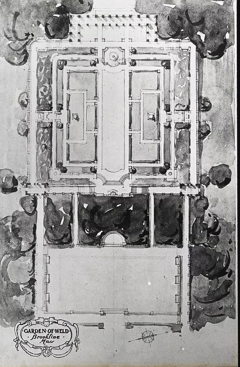
The outdoor ice rink sits in the footprint of the estate's Italianate Garden. The Town's landscape map lists the garden walls at the rink, a wall fountain, a well head, two pergolas and a fountain around it, plus a stone exedra (a curved stone bench) at the old pinetum, and buildings for the rink: a warming hut and a Zamboni shed. See ice skating.
The Allée
The Allée, a double row of trees ending in a semi-circular stone bench, is on the Goddard Avenue and Newton Street side, according to Brookline Recreation; the Town's landscape map lists it as an allée of trees with stone exedras. It is one of the park's three wedding ceremony sites.
The Auto Museum and Estate Buildings
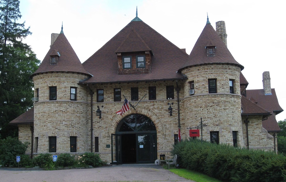
The Larz Anderson Auto Museum fills the estate's Carriage House at 15 Newton Street, Brookline, MA 02445. The Town's landscape map also names several smaller estate buildings near it: the Tenement House, the Widow Harris House, the Coachman's House, the Carpenter's House, the Bay Shed and the Putterham School, along with Parks Division storage sheds and a private residence that was originally part of the estate. Several Town offices, including the Parks maintenance yard, are inside the park. See the museum.
The Lagoon and the Temple of Love
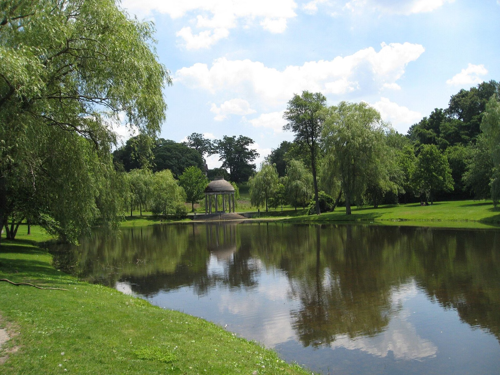
The Town's landscape map marks the lagoon causeway and footbridge, the Tempietto (Temple of Love), the Lionhead Fountain from the estate's Chinese Garden, and the Goddard Avenue wall. The lagoon empties through a weir at its Goddard Avenue end. See lagoon and Temple of Love.
Picnic Shelter, Grill Sites and Play Area
The brochure map labels the shelter, the restrooms and play area, and 12 numbered BBQ sites spread through the park, and the landscape map marks the restroom building as the permit check-in. The playing fields, including the baseball and softball field, are on the old polo ground. See picnics and the playground.
Paths, Not Trails
The Town's feature list for the park has a single Walkway/Paths/Trails entry, but it names no trails and publishes no trail mileages. Its master plan proposes completing a perimeter loop path around the park if funding comes through, so for now, walking Larz means following the paved paths and the park road between the hilltop, the lagoon and the fields.
Getting the Official Maps
- Town brochure with the picnic and ceremony map (2012; its fees are out of date — see current fees)
- Town map of existing landscape elements
- Brookline Recreation's online reservation system also offers a View Map link for the BBQ sites and shelter.
Park Map FAQ
Is there a map of Larz Anderson Park?
Yes. The Town of Brookline's park brochure has a map of the picnic areas, shelter and ceremony sites, and the Town publishes a separate map of the estate's surviving landscape features.
Are there hiking trails at Larz Anderson Park?
No named trails. The park has paved paths, lawns and a park road; the Town plans a perimeter loop path if funded.
Where is the entrance to Larz Anderson Park?
Cars enter on Newton Street and exit onto Avon Street. The park is also bordered by Goddard Avenue.
Where is the Top of the Hill at Larz Anderson Park?
On the Goddard Avenue and Newton Street side of the park near the auto museum, where the Andersons' house once stood.